Transforming Geospatial Vision into PrecisionReality
Unleash the Power of LiDAR and UAV Mapping for Unparalleled Accuracy.
Services we offer
Our dedicated teams of professionals work closely with our client and offer personalized and cost-effective solutions.
Mobile/Backpack/Airborne/UAV LiDAR Mapping
Enhancing Topographical Maps with Mobile LiDAR.

Point Cloud (LAZ/LAS) Classification
Ground Classification (Bare earth and non-ground classification). Advanced classification.

UAV Surveying, Data Processing and Mapping
Soar to new heights of accuracy and efficiency with our UAV (Drone) Surveying & Mapping.

Photogrammetric Mapping
Precision Captured through Photogrammetric Mastery.

Drone Videography/Photo Capturing
Our team consists of skilled drone pilots with a passion for precision and creativity.
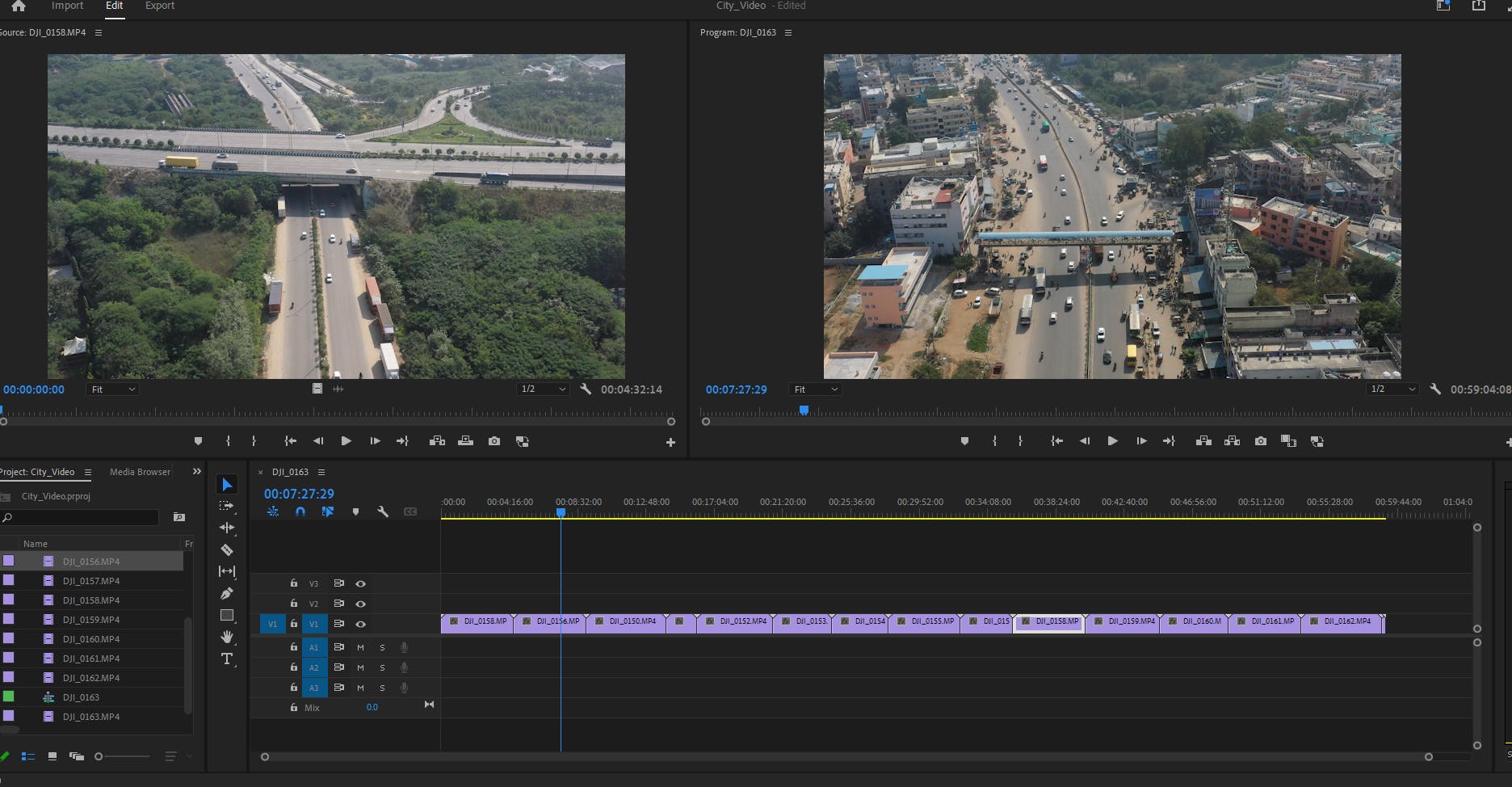
Videography Editing
Geospatial videography is a method that involves merging geospatial data with video footage.

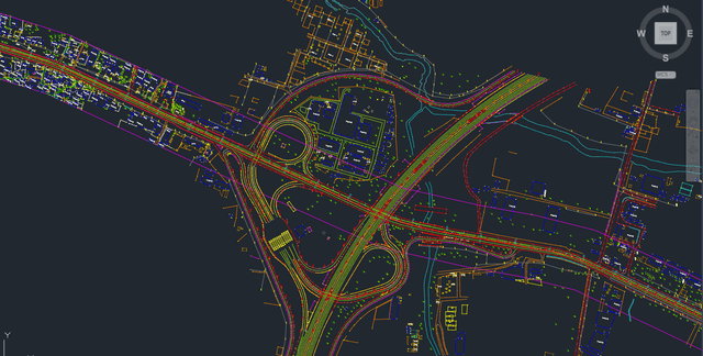
GIS/CAD Mapping & Data Conversion
Our GIS mapping services seamlessly integrate spatial data, enabling you to analyse, interpret.

Surface Modeling and Volume Calculation
3D models or point cloud data of the stockpile are used to calculate its volume. In grading and.